
 Forum
Forum
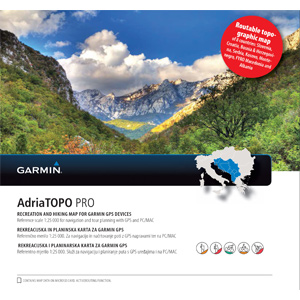
Prepare for your next great outdoor adventure in the Adria region with this highly detailed topographic mapping product. With routable maps and Garmin ActiveRouting¹, its the perfect outdoor companion for recreational and outdoor activities throughout Slovenia, Croatia, Bosnia and Herzegovi*na, Serbia, Kosovo, Monte*negro, FYRO Macedonia and Albania.
- Offers ActiveRouting, allowing you to customize and specifically plan routes for the entire road and trail networks
- Includes more than 40,000 km (24,855 mi) of pedestrian trails, hiking, cycling and named trails
- Offers more than 300,000 points of interests for popular categories, such as campgrounds, restaurants, landmarks, coves, beaches and more
- Provides inland water coverage for rivers, streams and lakes canals
Coverage
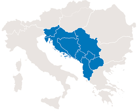
Features detailed topographic coverage of Slovenia, Croatia, Bosnia and Herzegovi*na, Serbia, Kosovo, Monte*negro, FYRO Macedonia and Albania.
FID: 3268
Download: (Image + SQL)
Locked Image: [Please Register or Login to download file] | [Please Register or Login to download file] | [Please Register or Login to download file]
UnLocked Image: [Please Register or Login to download file] | [Please Register or Login to download file] | [Please Register or Login to download file]
- Code: Select all
https://buy.garmin.com/en-US/US/maps/prod156881.html#gallery-dialog


