News of New Maps
Version: 2012.5
Released: Aug, 2012
Part Number: 010-D0546-00
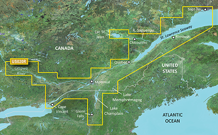
See your vessel’s precise, on-chart position in relation to navaids, coastal features, anchorages, obstructions, waterways, restricted areas and more with this detailed marine mapping data. Also includes Safety Shading and Fishing Charts (in compatible units), smooth data transition between zoom levels, harmonious transition across chart borders and reduction of chart discontinuities in coverage areas.
- Includes realistic navigation features ...