It is currently Mon Nov 25, 2024 7:11 am

News News of New Maps

Site map of New Maps » Forum : New Maps

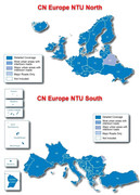
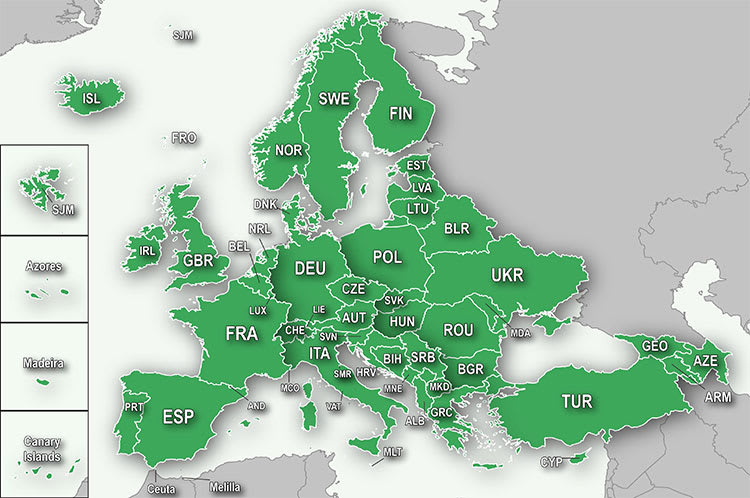
City Navigator Europe NTU 2024.20

City Navigator Europe NTU 2024.20 FID 12126 Unlocked
Image

Maps
This board requires you to be registered and logged-in to view hidden content.

JCV
This board requires you to be registered and logged-in to view hidden content.


This board requires you to be registered and logged-in to view hidden content.


This board requires you to be registered and logged-in to view hidden content.


Torrent
This board requires you to be registered and logged-in to view hidden content.

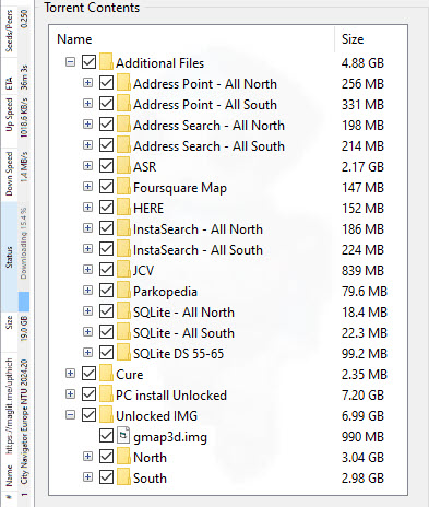
Torrent Contents


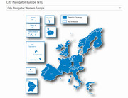
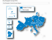
Regions
Image
This board requires you to be registered and logged-in to view hidden content.


Image
Central Region (D2974410A.img)3.61 GB.rar
Central Region ...
Read more : City Navigator Europe NTU 2024.20 | Views : 17120 | Replies : 56


Bluechart g3 vision - east coast Australia

HI,

Anyone got the bluechart g3 vision - east coast australia or australia and new zealand downloads?
would be great if anyone could share this.
Read more : Bluechart g3 vision - east coast Australia | Views : 771 | Replies : 0


City Navigator® China NT - English

Hello Everyone....

I need City Navigator® China NT - English. Can anyone share or upload me this map? :024: :034:


Thank you very much


NVMN
Read more : City Navigator® China NT - English | Views : 758 | Replies : 0


BlueChart G3 Baltic Sea, East Coast HXEU065R

Image
Coverage
Coverage of the Baltic Sea coasts of Poland, Russia, Lithuania, Latvia and Estonia from Rügen, from the German border to Narva-Jõesuu, EE and the lakes and rivers of Poland, Belarus and the Baltic States. Coverage includes the entire Gulf of Riga, the Szczecin, Vistula and Kurshskiy Lagoons, the ports of Tallinn, Riga, Gydnia, Gdansk and Kaliningrad, the islands of Bornholm, Gotland, Saaremaa, Hiiumaa, the Oder, Vistula, Bug, Neman, Emajõgi and Daugava Rivers, Lakes ...
Read more : BlueChart G3 Baltic Sea, East Coast HXEU065R | Views : 1305 | Replies : 2


HXSA001R -SOUTH AMERICA EAST COAST

Image

Coverage:
The east coast of South America from the Golfo de Paria to Tierra del Fuego. Coverage includes Trinidad and Tobago; the Lago de Brasilia; the Rio de la Plata; the Rio Uruguay to Salto, Uruguay; the Rio Parana to Parana, Argentina and the Falkland Islands (Islas Malvinas).

Premium Mapping and Graphics Capabilities
Detailed nautical charts, in vector object oriented format, derived from government charts and private sources to provide port plans, depth contours, ...
Read more : HXSA001R -SOUTH AMERICA EAST COAST | Views : 1064 | Replies : 2


City Navigator Australia & New Zealand NT 2024.20 FID12132

Garmin City Navigator Australia & New Zealand NT 2024.20 Unlocked
Image

This board requires you to be registered and logged-in to view hidden content.
Read more : City Navigator Australia & New Zealand NT 2024.20 FID12132 | Views : 5867 | Replies : 26


Garmin Topo Denmark v4 Pro

Garmin Topo Denmark v4 Pro FID: 4092 Unlocked
Image
Product Code: 010-D0751-03


Overview:
Let us be your guide in Denmark. This topgraphic map includes roads, paths, points of interest, elevation contours, elevation shading, lake charts, rivers, vegetation areas and much more, and is by far, the most detailed topographic map for your compatible Garmin GPS device.

Offers ActiveRouting, which allows you to customize and specifically plan routes for the entire road and trail network. The ...
Read more : Garmin Topo Denmark v4 Pro | Views : 861 | Replies : 0


Login  •  Register


Statistics

Total posts 163121 • Total topics 17273 • Total members 666545