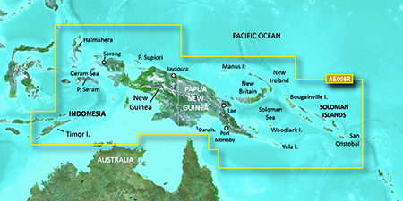
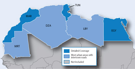
It is currently Tue Feb 18, 2025 9:57 pm

News News of New Maps

Site map of New Maps » Forum : New Maps

Projecto MAPEAR 12.1 Argentina Uruguay Chile Paraguay e Bolívia

Projecto MAPEAR 12.1 Argentina Uruguay Chile Paraguay e Bolívia
Released 11. January 2015

Image

Cartography routes, routes and points of interest throughout Argentina, Chile, Uruguay, Paraguay and Bolivia for GARMIN navigators.
It is also compatible with devices where you can install the software Garmin Mobile XT (*) (PNA, PDA, Smartphones, etc.).
You must have installed MapSource or BaseCamp software to use this installer:

Download Map Source Installer Size: 174 MB


Description: Cartography routes, routes and ...
Read more : Projecto MAPEAR 12.1 Argentina Uruguay Chile Paraguay e Bolívia | Views : 4419 | Replies : 0


BlueChart g2 Vision - VAE002R - Yellow Sea 2015.5 (17.00)

BlueChart g2 Vision - VAE002R - Yellow Sea 2015.5 (17.00)

See your vessel’s precise, on-chart position in relation to navaids, coastal features and restricted areas with premium features found in this detailed marine mapping data. Includes all of the features of our BlueChart® g2 product, plus 3-D perspective above and below the waterline, Auto Guidance, high-resolution imagery, and aerial photos of ports, harbors, marinas and landmarks.
  • Shaded depth contours, coastlines, spot soundings, navaids, port ...
Read more : BlueChart g2 Vision - VAE002R - Yellow Sea 2015.5 (17.00) | Views : 6859 | Replies : 11


BlueChart g2 HAE006R Timor Leste-New Guinea v16.00

Image

unl.img
This board requires you to be registered and logged-in to view hidden content.
Read more : BlueChart g2 HAE006R Timor Leste-New Guinea v16.00 | Views : 3665 | Replies : 3


City Navigator South America NT 2015.40

City Navigator South America NT 2016.20

FID: 3917

Map Source Data with .msi installer:
Locked: Download
Image

UnLocked: Download
Image


Original Image - South America:
Locked: Download
Image

UnLocked: Download
Image


3D - South America:
Locked: Download
Image

UnLocked: Download
Image


JCV:
D3599150A_JCV - nuvi 30/40/50 & Android
Download
Image
Code: Select all
Data JCV:  length 15398083, name D3599150A.jcv
   date 30.06.2015 11:54:52
   006-D3599-15
   picture size 212*234


D3568150A_JCV - JCV_Split-Screen
Download
Image
Data JCV: length 38605037, name D3568150A.jcv
date 30.06.2015 11:51:25 ...
Read more : City Navigator South America NT 2015.40 | Views : 9423 | Replies : 9


City Navigator Russia NT Navicom 2015.40

City Navigator Russia NT Navicom 2015.40

FID: 3697

Image:
Locked: Part1 | Part2 | Part3 | Part4

UnLocked: Part1 | Part2 | Part3 | Part4


3D:
Locked: Download

UnLocked: Download


Foursquare Image:
Locked: Download

UnLocked: Download


JCV:
D3305150A.JCV
Code: Select all
Data JCV:  length 36194612, name D3305150A.JCV
   date 30.12.2014 14:07:09
   006-D3305-15
   picture size 480*270


D3527130A.JCV
Code: Select all
Data JCV:  length 24165541, name D3527130A.JCV
   date 30.12.2014 14:23:06
   006-D3527-13
   picture size 212*234


D3528130A.JCV
Data JCV: length 15951086, name D3528130A.JCV
date 30.12.2014 13:42:09 ...
Read more : City Navigator Russia NT Navicom 2015.40 | Views : 3621 | Replies : 3


Garmin LCA100F LakeVu HD Canada v.15.50

Image

unl.img

This board requires you to be registered and logged-in to view hidden content.
Read more : Garmin LCA100F LakeVu HD Canada v.15.50 | Views : 3703 | Replies : 5


BlueChart g2 - HAE002R - Yellow Sea 2014.5 (16.00)

BlueChart g2 - HAE002R - Yellow Sea 2014.5 (16.00)

See your vessel’s precise, on-chart position in relation to navaids, coastal features, anchorages, obstructions, waterways, restricted areas and more with this detailed marine mapping data.
  • Shaded depth contours, coastlines, spot soundings, navaids, port plans, wrecks, obstructions, intertidal zones, restricted areas and IALA symbols.
  • Seamless transitions between zoom levels and more continuity across chart boundaries.
  • Standard 2-D direct overhead or 3-D “over the bow” ...
Read more : BlueChart g2 - HAE002R - Yellow Sea 2014.5 (16.00) | Views : 3213 | Replies : 8


City Navigator North Africa NT 2015.30

City Navigator North Africa NT 2015.30

FID: 3611

Download
Locked Image: Download

UnLocked Image: Download


Image
Code: Select all
https://buy.garmin.com/en-US/US/prod513849.html
Read more : City Navigator North Africa NT 2015.30 | Views : 6082 | Replies : 2


City Navigator Middle East & Northern Africa NT 2015.20

City Navigator Middle East & Northern Africa NT 2015.20

FID: 3362

Navigate the streets with confidence. This product provides detailed road maps and points of interest for your device, so you can navigate with exact, turn-by-turn directions to any address or intersection.
  • Provides more than 974,300 km (605,400 mi) of road coverage.
  • Displays more than 1.55 million points of interest throughout the region, including restaurants, lodging, attractions, gas stations and shopping.
  • Includes ...
Read more : City Navigator Middle East & Northern Africa NT 2015.20 | Views : 6425 | Replies : 6


City Navigator West Africa NT 2015.30

City Navigator West Africa NT 2015.30

Navigate the streets with confidence. This product provides detailed road maps and points of interest for your device, so you can navigate with exact, turn-by-turn directions to any address or intersection.

Features motorways, national and regional thoroughfares and local roads, in Western Africa, specifically:

  • Nigeria
  • Benin
  • Togo
  • Ghana
  • Ivory Coast
  • Guinea
  • Gambia
  • Senegal
  • Burkina Faso
  • Mali
  • Niger
FID: ...
Read more : City Navigator West Africa NT 2015.30 | Views : 2891 | Replies : 2


Login  •  Register


Statistics

Total posts 163857 • Total topics 17331 • Total members 672345